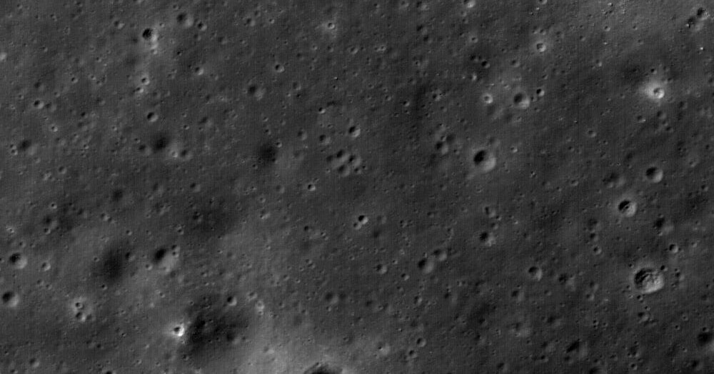
The team tested their approach on an area centered in the Mare Ingenii, a region on the far side of the moon. They fed the algorithm the angles of incoming sunlight from photographs containing shadows taken by NASA’s Lunar Reconnaissance Orbiter (LRO)—a satellite that continuously circles the moon, capturing information—along with elevation data collected by its laser altimeter. The resulting high-resolution terrain model matched the shadowed photographs to a high degree of accuracy, and vastly improved the elevation resolution. The elevation data gathered by the LRO’s laser altimeter has a resolution of 60 meters per pixel; the new method’s final terrain model had a resolution of 0.9 meters per pixel. This meant that craters with diameters as small as three meters became identifiable. “It’s a different approach for understanding the topography of the moon that could help prepare for future human and robotic exploration,” says Noah Petro, a planetary geologist at NASA’s Goddard Space Flight Center who wasn’t involved in the research.
The LRO has been orbiting the moon since 2009, collecting data that has been used to create a digital terrain model that covers 98 percent of the moon’s surface. This is the base map that any higher-resolution terrain models, such as the one from the new study, are placed on. Together, such high-resolution maps are the foundation for planning trips to the surface. Landing sites need to be flat with no boulders. Travel routes to and from craters ideally shouldn’t be steep, so that they can be navigated by rovers.
High-resolution maps of the lunar landscape can be used to model light conditions too. Predicting when and where to expect shadows and sunlight is crucial for planning upcoming missions, says Paul Hayne, a planetary scientist at the University of Colorado Boulder’s Laboratory for Atmospheric and Space Physics. Potential landing sites will need to receive solar radiation for at least part of the day to recharge instruments and rovers. Sunlit areas directly adjacent to craters could also be useful, because exploring shadowed regions may take time, meaning rovers might need to be recharged as soon as they exit a crater.
A more detailed understanding of the terrain can also help NASA decide which permanently shadowed regions to target when searching for water ice. For example, the steepness of crater walls can provide insight into how long ago the crater formed and whether the shadows and temperatures could have persisted for long enough for water ice to be present. “We often need highly accurate terrain models to turn a snapshot into a time history, to find the cold-traps where ice might be stable for long periods,” says Hayne.
And on top of all this, the new imaging approach should also help with navigation. Rovers need to be able to travel along precisely calculated routes. Onboard motion detectors can help rovers navigate, but sensor and estimation errors can add up over large distances, causing vehicles to drift off course. One way to overcome this is to have rovers use onboard cameras to create high-resolution terrain models on their own, and then pinpoint their location relative to known features and adjust their path accordingly, says Martin Schuster, a robotics scientist at the German Aerospace Center’s Institute of Robotics and Mechatronics. “Matching local terrain models to externally created high-resolution models, like the one produced in the new study, can help rovers localize,” he says. If the resolution of previously created terrain maps is too low, staying on path can be more difficult.
The moon is a quarter of a million miles from Earth. Getting there is difficult, and if astronauts experience unexpected issues on the surface, they will be limited in how they can respond. Anticipating what terrain features explorers and rovers will encounter is therefore extremely important—and could even be lifesaving. Finding the best, most accurate ways to map the moon’s surface is an integral part of mission preparation. “We want to use all available data to tell us everything we can about the places we want to explore,” says Petro.