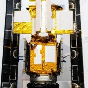
A New NASA Satellite Will Map Earth’s Rising Seas
A spacecraft called SWOT will image most of the planet every 21 days to track flooding, drought, and many other water woes. ..

A spacecraft called SWOT will image most of the planet every 21 days to track flooding, drought, and many other water woes. ..

Researchers are trying to understand what drives the algal blooms that tinge ice—and have implications for the drought-stricken American West’s water ..
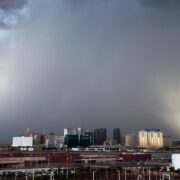
As carbon concentrations rise, conditions are becoming more like they were 3 million years ago, when the area was wetter and the rain was heavier. ..
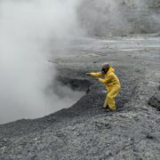
In the future, remote-controlled quadcopters might mean that researchers won’t have to crawl inside volcanoes to collect carbon dioxide anymore. ..
Parched ground is less likely to absorb water and increases the risk of dangerous flash floods. But there are ways to mitigate these conditions. ..
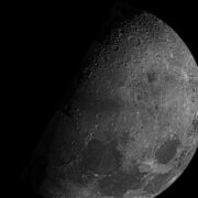
Gases trapped in lunar meteorites hint that the moon was formed out of material displaced from Earth after a planetary collision. ..

New research finds that chaos plays a bigger role in population dynamics than decades of ecological data seemed to suggest. ..

Living organisms leave a huge geochemical imprint on the planet, a new taxonomic system reveals. It might help identify other worlds with life. ..
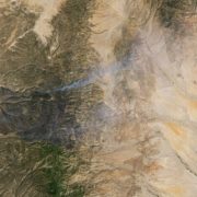
The pioneering satellite program has provided the longest continuous document of how fire, global warming, and humanity are remaking our world. ..
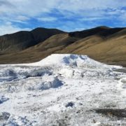
Scientists show how microbes living in a salty spring near the North Pole might resemble those that could have survived on the Red Planet—or in ocean ..